Simulation Accuracy & Validation Informatics (SAVI)
GUI-based tool designed to facilitate and automate the validation of simulated land change models
View Code on Github More Info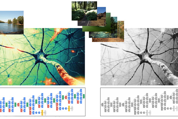
Deep Learning for Ecosystem Services
Convolutional Neural Networks (CNNs) to classify and map areas of highest concentration of cultural ecosystem services
View Code on Github More Info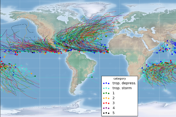
Storm Forecast
Machine Learning algorithms to predict 24-hour tropical and extra-tropical storm intensity
View Code on Github More Info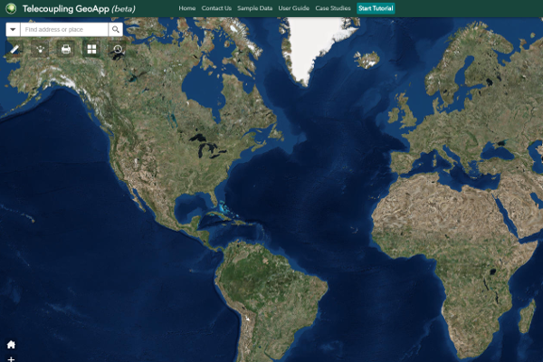
Telecoupling Toolbox
A suite of geospatial software tools and apps for socioeconomic and environmental analysis of coupled human-natural systems (CHANS) from local to global scales
View Code on Github More Info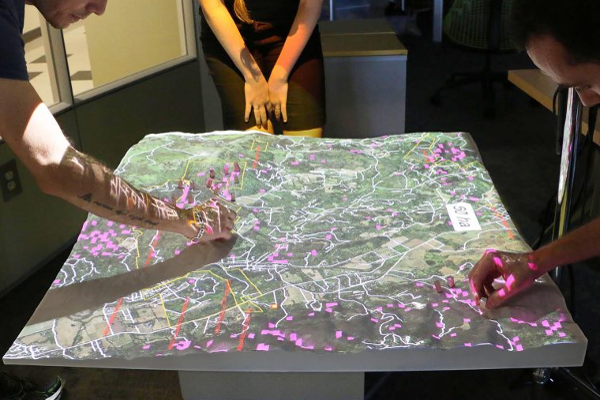
Tangible Landscape
A hands-on approach to environmental decisions using tangible geospatial modeling
View Code on Github More Info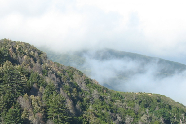
LANDIS-II: Base Epidemiological Disturbance Agent
Software extension for LANDIS-II adding spatiotemporal dynamics of epidemiological disturbance to forest landscape simulation models
View Code on Github More Info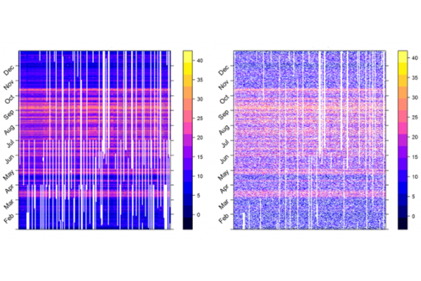
Spatiotemporal Interpolation of Missing Climatological Data
Comparison of probabilistic and deterministic spatiotemporal statistical techniques for reconstructing hourly time series of near-surface air temperature recorded by a dense network of forest understory sensors
View Code on Github More Info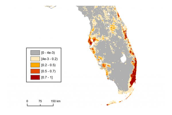
Bayesian Species Distribution Models
Using advanced statistical models to predict the geographical distribution of invasive species from occurrence field data
More Info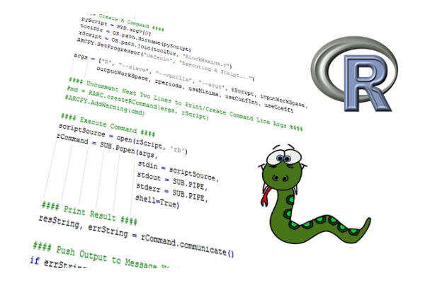
Custom Python-R Tools for ESRI's ArcGIS
Sets of integrated custom Python-R script tools for ESRI's ArcGIS
View Code 1 on Github More InfoView Code 2 on Github
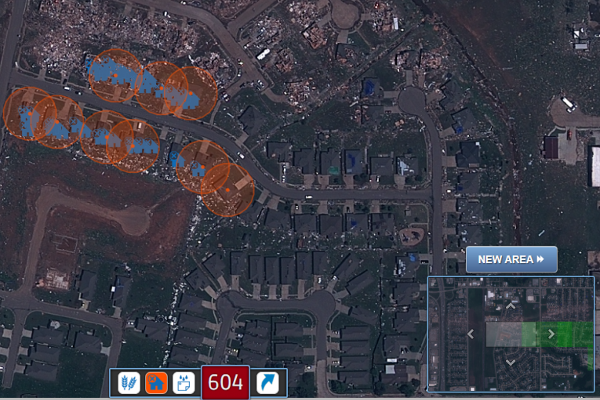
Standby Task Force: Crowdsourced Satellite Imagery Tagging
Volunteer experience with the Standby Task Force (SBTF) group using crowdsources satellite imagery analysis for disaster management and emergency response
More Info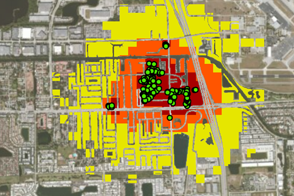
Spatiotemporal Simulation of Invasive Species Spread
Dynamic stochastic simulation models to predict areas of potential infestation by invasive termites
View Code on Github More Info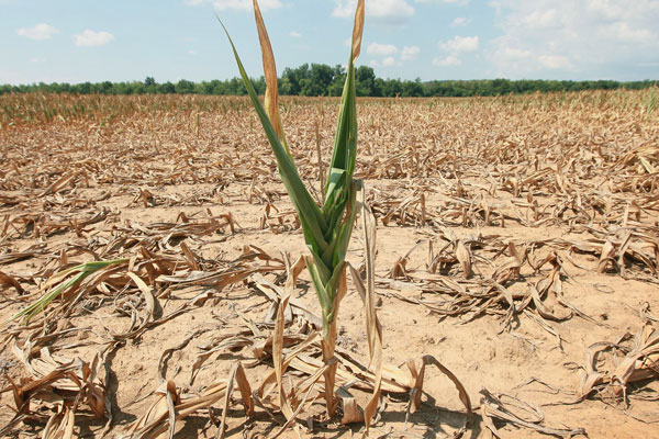
Drought Risk Assessment from Satellite Imagery Analysis
Extreme value statistical models applied to raster data in order to assess the extent of the areas prone to severe drought conditions
View Code on Github More Info