Presentation Title:
Analysis of Big Spatial Data with PostgreSQL/PostGIS and R –Case Studies in OpenStreetMap and Interactive Web Mapping from R
Authors: Dennis Zielstra, PhD, GISP; Francesco Tonini, PhD, GISP
Download Presentation (.pdf)
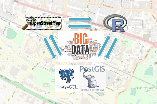
Analysis of Big Spatial Data with PostgreSQL/PostGIS and R –Case Studies in OpenStreetMap and Interactive Web Mapping from R. The analysis of big spatial data has taken a major role in research as well as the private sector in recent years. Oftentimes traditional geospatial software lacks the performance to analyze these large datasets due to a number of reasons. In this presentation we will introduce two alternative methods for big spatial data analysis by utilizing open source solutions that are freely available to the internet user. To provide a better understanding of the concepts and applicability of the selected software, i.e. PostgreSQL/PostGIS and R, a number of use cases and studies are included in the presentation in which large OpenStreetMap datasets have been investigated with regards to their performance in comparison to proprietary geodata providers. The extensible and flexible nature of R makes it possible to combine several data sources, perform Big Data analytics, and visualize data in new powerful ways.