Francesco Tonini


Geospatial Data Scientist

Francesco Tonini


Geospatial Data Scientist

A data scientist is someone who is better at statistics than any software engineer and better at software engineering than any statistician

Josh Wills

I'm a geospatial data scientist, certified GISP® (GIS Professional), and commercial UAS remote pilot, with a cross-disciplinary background in statistics/machine learning, geospatial analysis/modeling & visualization, and programming. My professional interests include cloud and AI tools to solve global environmental & sustainability challenges; ecosystem services provision and human-natural systems research; GIS for disaster management and emergency response. You can read more about me, check out geospatial projects I have worked on over the years, and access a few resources such as publications, videos and slides as well.
WORK


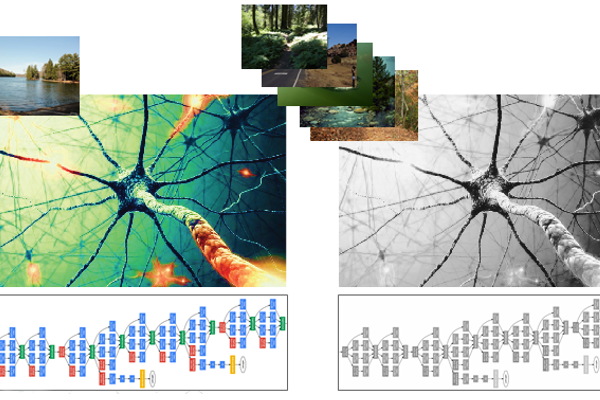
Deep Learning for Ecosystem Services

More Info

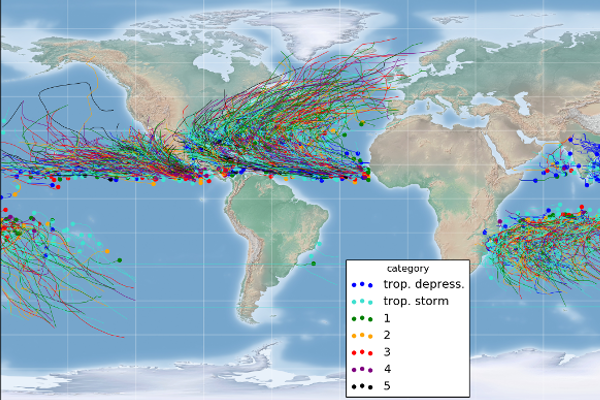
Storm Forecast with Machine Learning

More Info

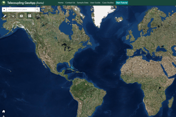
Geospatial Applications and Tools for Coupled Human-Natural Systems

More Info

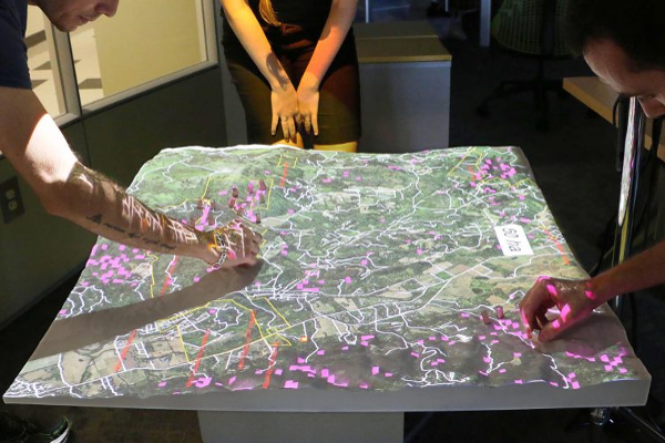
Tangible Geospatial Modeling for Collaborative Environmental Management

More Info

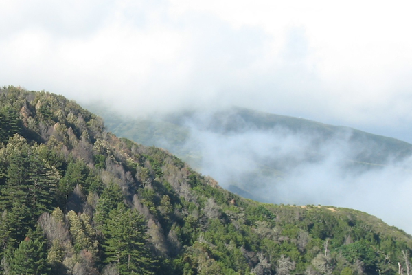
Software Extension for Modeling Spatiotemporal Dynamics of Forest Disease Spread

More Info

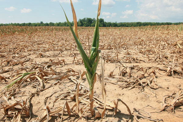
Drought Risk Assessment from Satellite Imagery Analysis

More Info